In this article, the authors propose a deep learning-based approach for probabilistic precipitation forecasting at fine spatial scales using satellite data. The proposed method leverages a combination of convolutional neural networks (CNNs) and attention mechanisms to enhance the resolution of satellite data and improve the accuracy of precipitation forecasts.
The authors begin by explaining that traditional methods of precipitation forecasting rely on ground-radar data, which has higher spatial resolution than satellite data. However, this limits the ability to predict precipitation at finer spatial scales, particularly in areas with limited ground-radar coverage. To address this challenge, the authors propose using a super-resolution component to enhance the resolution of satellite data, allowing for more accurate forecasts at finer spatial scales.
The proposed method consists of three main components: (1) an encoded output generation using a CNN, (2) an attention layer to focus on different regions of the encoded output, and (3) a downscaling process using a deconvolution layer with learnable weights. The authors explain that this approach allows the model to capture the relationship between extracted spatial features and improve the accuracy of precipitation forecasts.
The authors then provide a detailed explanation of each component of the proposed method:
- Encoded Output Generation: The authors use a CNN to encode the satellite data, which produces a high-dimensional feature space with spatial information.
- Attention Layer: The attention layer enables the model to focus on different regions of the encoded output, allowing it to capture spatial features more effectively.
- Downscaling Process: The deconvolution layer with learnable weights allows the model to downscale the data while preserving important spatial information.
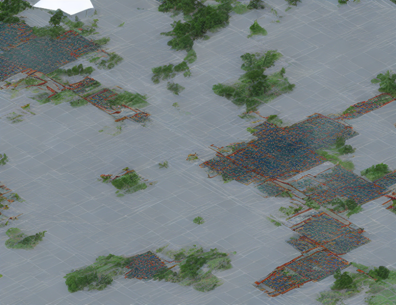
The authors then discuss the training procedure for the proposed method, which involves optimizing the model using a combination of reconstruction loss and adversarial loss. They also provide examples of the output images produced by the model, demonstrating its ability to generate high-resolution precipitation forecasts.
In conclusion, the authors propose a deep learning-based approach for probabilistic precipitation forecasting at fine spatial scales using satellite data. The proposed method leverages a combination of CNNs and attention mechanisms to enhance the resolution of satellite data and improve the accuracy of precipitation forecasts. The authors demonstrate the effectiveness of their method through experimental results, showing that it can generate high-resolution precipitation forecasts with improved accuracy compared to traditional methods.