In this article, we address the critical challenge of finding people trapped by wildfires using search algorithms. We improve upon previous methods by categorizing them into two main cases based on how the fire spreads and obstructs paths. This approach enables more accurate and efficient search and rescue operations.
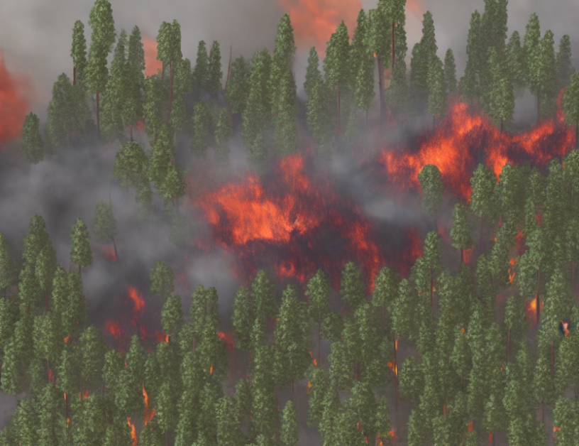
Forest fires are a significant threat to humans, as they can last for an extended period and spread rapidly. To mitigate damage, it is crucial to identify people in danger quickly. However, finding them is challenging due to the unpredictable nature of wildfires. Existing search algorithms have limitations, such as relying on satellite data that may not capture real-time updates or using simple geometric shapes that do not account for complex fire patterns.
Our proposed algorithm considers two main scenarios: Figure 4 and Figure 5. In the first scenario, the fire spreads in a linear pattern, while in the second, it grows in an irregular shape. By categorizing these cases, we can tailor our search strategy to each situation, ensuring more effective and efficient rescue operations.
To illustrate how our algorithm works, imagine a person trapped in a forest during a wildfire. Our system would analyze satellite images to identify the location of the person and determine the best path for rescue teams to reach them. If the fire spreads, the algorithm will adjust the search route accordingly, taking into account any obstacles or changes in the fire’s pattern.
In summary, our improved search algorithm addresses the critical need for accurate and efficient search and rescue operations in wildfire scenarios. By categorizing search cases based on fire patterns, we can better navigate complex terrain and find people faster, saving lives and reducing damage to property.
Improved Search Algorithm for Forest Fire Detection and Rescue


