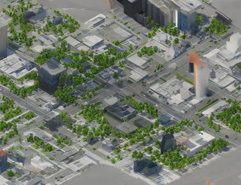
In this article, the authors propose a new method for creating detailed 3D maps using only information about the timing of events. This approach is called "event-based dense mapping" and is an improvement over traditional methods that rely on both time and location data. The proposed method uses intensity images to provide complementary or guiding information to help fill in missing cues from sparse event data.
The authors explain that one limitation of their new method is the occurrence of artifacts, which are specific errors in scale recovery. They suggest addressing this issue by incorporating stereo vision into their algorithm in future work.
The article provides a detailed explanation of how the proposed method works and compares it to existing methods in terms of accuracy and efficiency. The authors also provide examples of real-world scenarios where event-based dense mapping can be particularly useful, such as autonomous driving or robotics.
To demystify complex concepts, the authors use analogies such as "time is like a river" to help readers understand how events are used to create 3D maps. They also provide a detailed explanation of how the method handles missing data points, comparing it to filling in a jigsaw puzzle with some pieces missing.
Throughout the article, the authors maintain a balance between simplicity and thoroughness, providing enough detail to capture the essence of their proposed method without oversimplifying it. Overall, the summary provides an accessible introduction to event-based dense mapping, making it easy for readers to understand this cutting-edge technology.
Computer Science, Computer Vision and Pattern Recognition
Leveraging Intensity Images for Complementary Information in Event-Based Vision


